views
The Nepal government is preparing to send the newly updated map, which includes Kalapani, Lipulekh and Limpiyadhura as its integral part, to the international community by mid-August, a minister said on Saturday.
“We will be sending the updated map including Kalapani, Lipulekh and Limpiyadhura to various UN agencies and the international community including India. The process will be completed in the middle of this month,” the Minister for Land Management, Padma Aryal told news agency ANI.
Aryal also said that the Nepal government is preparing to publish a book including the ‘encroached territories’ of Kalapani, Lipu Lekh and Limpiyadhura.
The country’s Department of Measurement was asked to print 4,000 copies of the updated map in English language and send it to the international community.
So far, the department has printed 50,000 copies which have been distributed across the nation. Provincial and other public offices will be given copies free of cost while rest can buy the updated version of the map for Nepali Rupees 50.
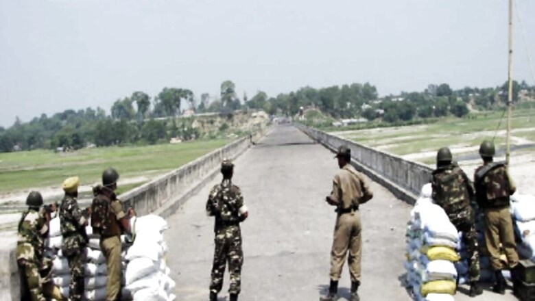
On May 20, the Nepal government released the revised political and administrative map incorporating the disputing territories. Strongly reacting to the Nepal government, Indian authorities claimed that Nepal's unilateral decision was not based on historical facts and evidence.
Further adding, India sternly stated that ‘such artificial enlargement of territorial claims will not be accepted by India’.


Comments
0 comment