views
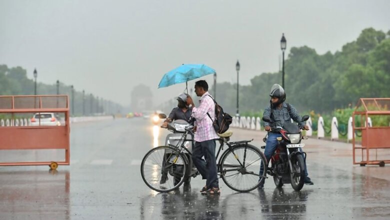
Light rains and cloudy weather kept the maximum temperature in check in the national capital on Sunday as the weatherman predicted more downpour till the onset of the monsoon in the city.
These rains are a result of a trough extending from Pakistan to Assam, crossing over north Rajasthan and southern Uttar Pradesh, said Kuldeep Srivastava, head of the regional forecasting centre of the India Meteorological Department.
A western disturbance is also active over north Pakistan and Jammu and Kashmir, he said.
The Safdarjung Observatory, which provides representative figures for the city, recorded a maximum of 36.6 degrees Celsius, two notches below the normal. On Saturday, the city recorded a high of 38.1 degrees Celsius.
The humidity levels oscillated between 62 and 92 per cent.
The maximum temperature will hover around 35 degrees Celsius for the next three-four days, Srivastava said.
Mahesh Palawat of Skymet Weather, a private weather forecasting service, said rains will continue on and off till the onset of the monsoon around June 24-25.
This means the national capital is likely to witness light showers in the morning and towards the evening for a few days, he said.
According to weather experts, the monsoon is likely to arrive in Delhi two-three days earlier than its usual date of June 27 because of a cyclonic circulation over West Bengal and its neighbourhood areas which then moved towards southwest Uttar Pradesh on June 19 and June 20.
"It helped in further advancement of the monsoon, which has reached eastern Uttar Pradesh and central Madhya Pradesh. It is expected to reach west Uttar Pradesh and some parts of Uttarakhand by June 22," Srivastava said.
Thereafter, it will make an onset in Delhi, Haryana and Punjab within the next two-three days, he said.


Comments
0 comment