
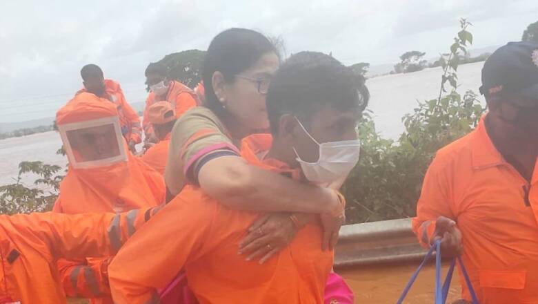
Torrential rainfall in Maharashtra over the past week has caused havoc in the state, triggering landslides, inundating entire areas and according to official numbers killing at least 76 people. A landslide near the Talai village in Mahad tehsil in coastal Raigad killed 36 people, PTI reported on Friday.
The state’s rain woes are yet to end as the India Meteorological Department (IMD) issued a red alert for six districts.
Here’s a look at what is leading to such heavy rainfall in the state.
— In a press release on July 15, the IMD said that there was a low pressure area over west central and adjoining north west Bay of Bengal off north Andhra Pradesh-south Odisha coasts and this had caused strengthening of the monsoon flow and its convergence along the west coast, which in turn caused fairly widespread to widespread
rainfall and thunderstorm activity along with heavy to very heavy and extremely heavy rainfall along the
west coast and over the Ghats sections of Maharashtra and Karnataka during the week.
— Thunderstorms the height of Mt Everest, which were termed as ‘monstrous’ thunderstorms were also responsible for the unusually extreme weather in Maharashtra. Twitter user @IndiaWeatherMan said on July 18 of the heavy rainfall in the state on July 17, “About last nights extreme rain event. Massive Thunderstorm popped up over Raigad district in the evening. Then it slowly moved northward along the west coast towards Mumbai and then all the way till South Gujarat. To have thunderstorm track northward like that and maintain strength is unique”
https://twitter.com/IndiaWeatherMan/status/1416617601191403520?s=20
— Akshay Deoras, a meteorologist and PhD student in the Department of Meteorology, University of Reading in UK called it tweeted to show exactly how massive the cloud was.
https://twitter.com/akshaydeoras/status/1416505616282042369?s=20
The top height of the cloud was nearly 18 km, or 60,000 feet.
— The Indian Express quoted Sunil Pawar, senior scientist, IITM- Pune as saying, “This type of thunderstorm is definitely very unusual. For a coastal station like Mumbai, thunderstorm formations are quite a few, even in the pre-monsoon period (May-June), let alone in July. Even with very severe thunderstorms, cloud height reaches up to 16-17 km, this was very high and requires high instability. We are also confused about how such instability was constructed for cloud height to reach 18 km,” Sunil Pawar, senior scientist, IITM- Pune, said.
While @IndiaWeatherMan had pointed out that such an event was not predicted by the IMD, Pawar said such a development is usually ‘fast, complex and localised’ and therefore difficult to predict.
— Meanwhile, Deoras compared the Chiplun floods to the 2018 Kerala floods. “Chiplunfloods have a similarity to the 2018 Kerala floods. Both events have been triggered in the presence of a #monsoon low-pressure system over the Bay of Bengal. The swelling of rivers due to heavy rainfall & release of dam water is another common factor!” Deoras tweeted.
https://twitter.com/akshaydeoras/status/1418300029912104961?s=20
What next?
The IMD issued a red alert for six districts in Maharashtra for “extremely heavy” rainfall and recommending preventive actions. “Fairly widespread to widespread rainfall with isolated heavy to very heavy falls are likely to continue over west coast during the next two to three days with reduction thereafter,” the IMD said.
The six districts are Raigad, Ratnagiri and Sindhudurg in coastal Konkan and a une, Satara and Kolhapur in western Maharashtra. Extremely heavy rainfall is “very likely” at isolated places in ghat (hilly/upland) areas, an IMD official said. “Very likely” denotes 51 to 75 per cent probability of occurrence, he added. The forecast for Satara is “most likely” which means a probability of more than 75 per cent, he said.
But it is likely that some districts might see some relief. Deoras said in a tweet, “There will be a considerable reduction in the rainfall in #Konkan and western #Maharashtra from 24 July, which will certainly help in the receding of the flood waters as well as river levels.”
https://twitter.com/akshaydeoras/status/1418510095424573440?s=20
“Further to this, we can expect a reduction in the number of landslides in #Maharashtra between 25 and 28 July.
This seems to be a good window for post-disaster operations such as providing assistance to affected people & rehabilitate them,” he added.
Read all the Latest News, Breaking News and Coronavirus News here.


Comments
0 comment